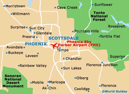
Phoenix Sky Harbor International Airport (PHX)
Orientation and Maps
(Phoenix, Arizona (AZ), USA)
Typical of Arizona, Phoenix is known for its endless sunshine and fine weather, which is warm all year around. Phoenix is a truly vast and sprawling city, with the greater metropolitan area of the city absorbing many of the nearby towns and villages, such as Glendale, Mesa, Scottsdale and also Tempe.
Just a short distance to the southeast of downtown Phoenix you will find the Sky Harbor International Airport (PHX), which is located next to the I-10 (Maricopa Freeway). Valley Metro operate a series of buses, which connect the downtown district, Mesa and Tempe. Further afield, Greyhound buses operate from the terminal along East Buckeye Road and connect many cities, such as Flagstaff, Tucson and even Los Angeles, which can be reached in approximately seven hours
Phoenix International Airport (PHX) Maps: Important City Districts
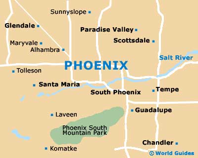
The overall Phoenix metropolis is often referred to as the 'Valley of the Sun' and features a large and comprehensive network of interconnecting highways and strip malls. The northern edge of the city is bordered by the Sonoran desert and is close to a good selection of world-class golf courses and recreational attractions. Much of the area is surrounded by an impressive backdrop of mountains.
Within central Phoenix, the Central Avenue is an important artery and heads north to south, while Washington Street is also a prominent road and runs east to west. The downtown district is relatively compact and is home to many modern buildings, although a number of historical structures do reside along the Central Avenue and around Heritage Square. Amongst the main attractions in central Phoenix, the Heard Museum and Phoenix Art Museum are both located along North Central Avenue.
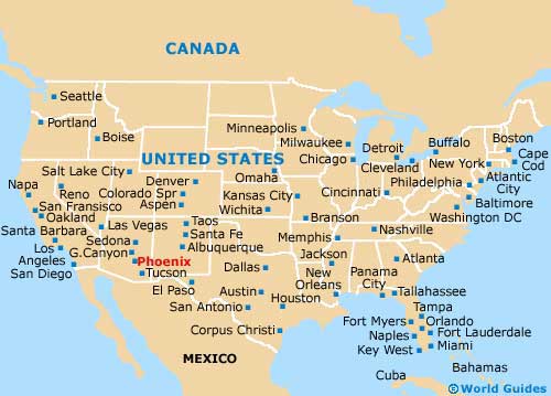
USA Map
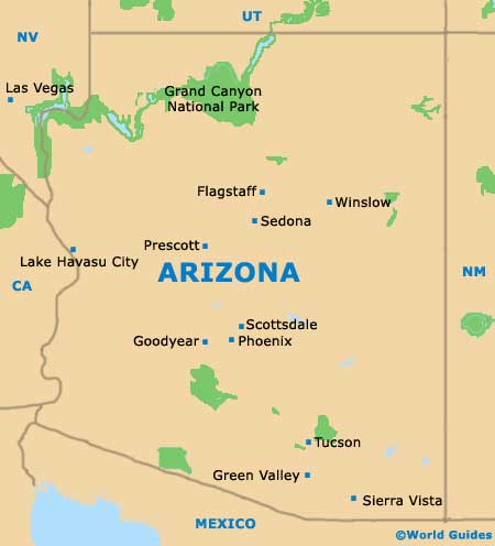
Arizona Map
Phoenix Map